Lerwick
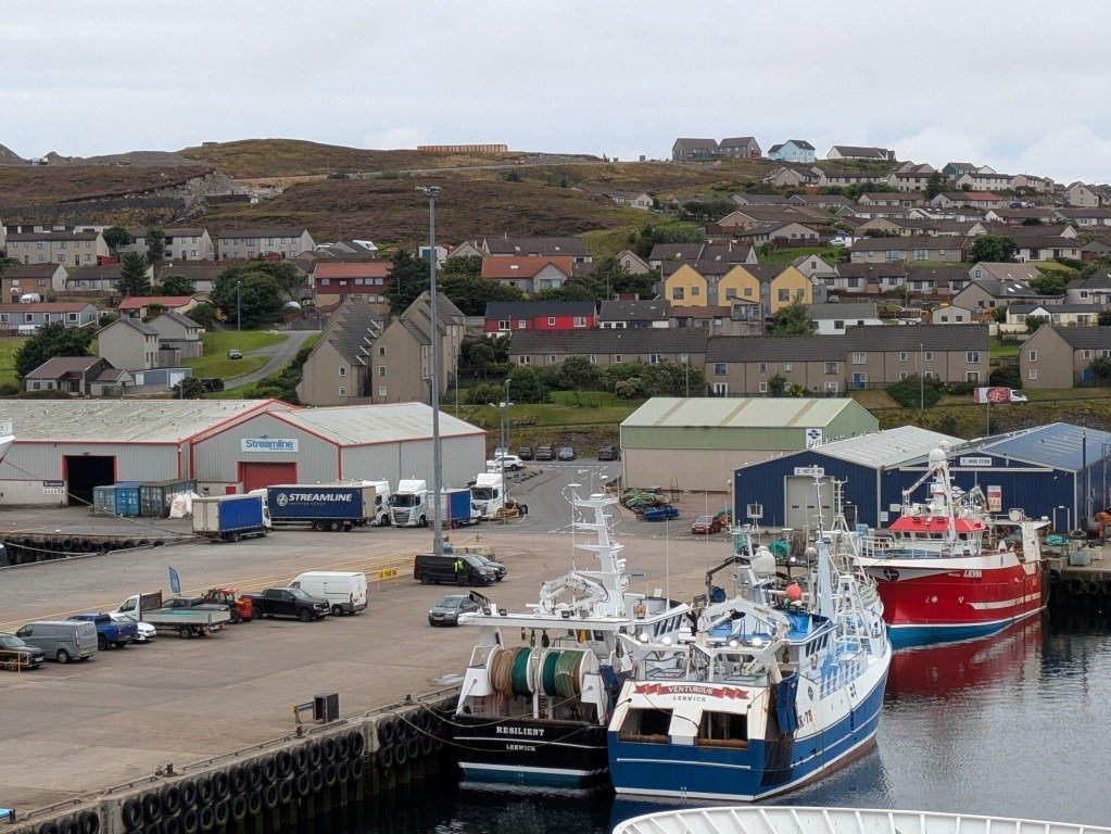
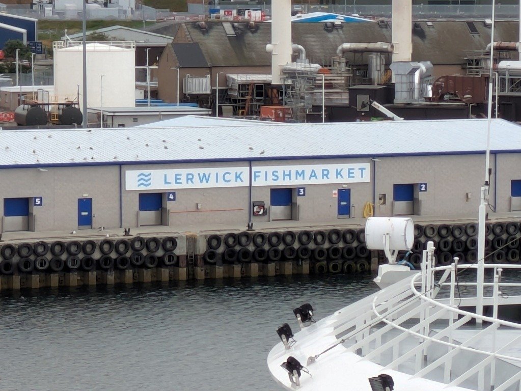
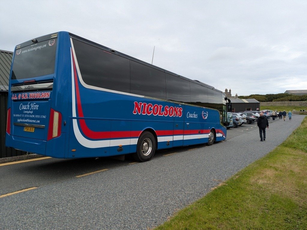
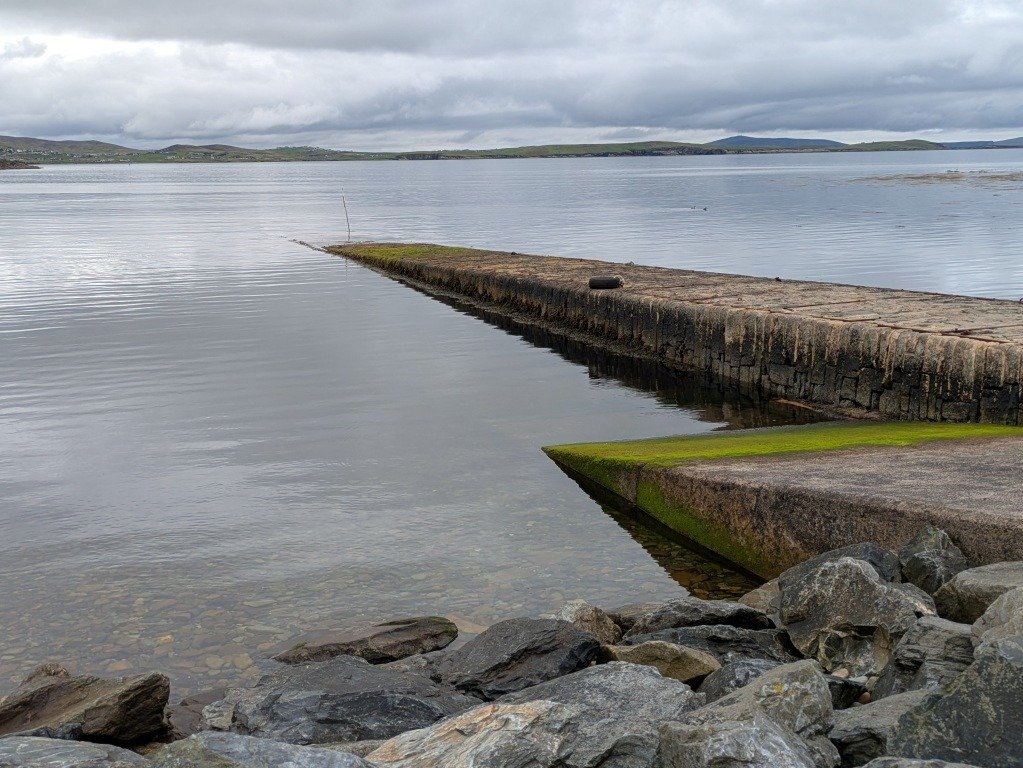
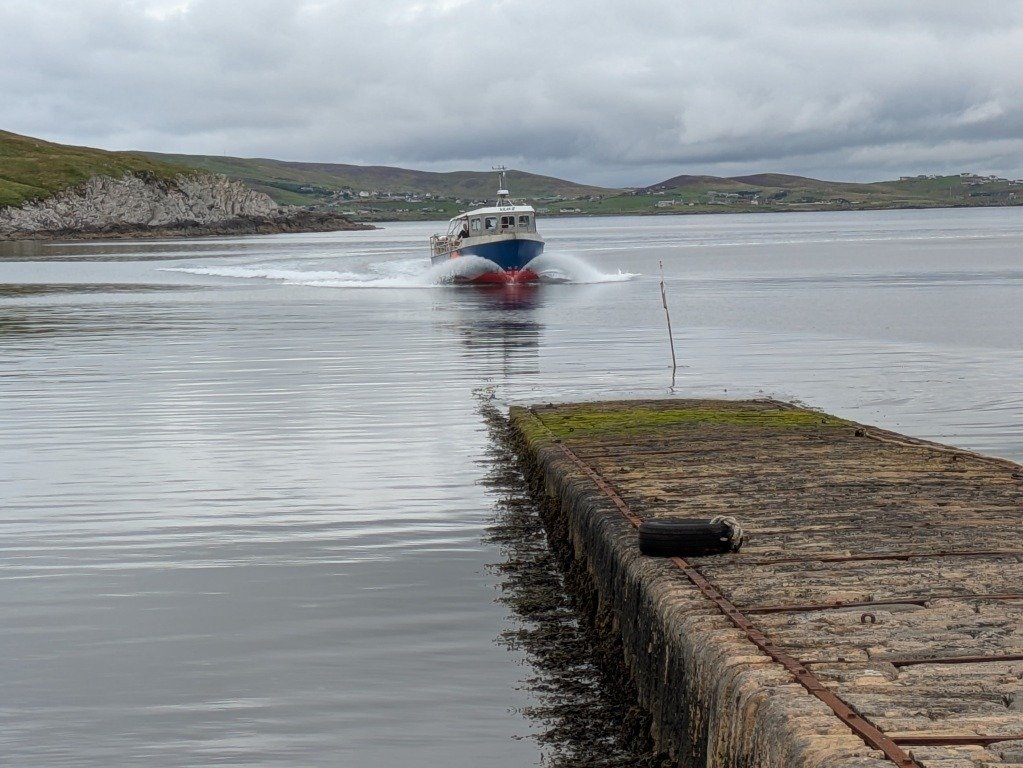
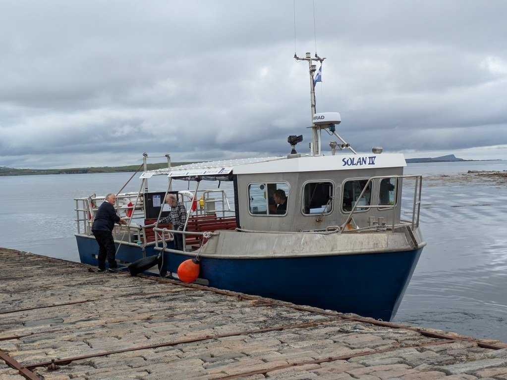
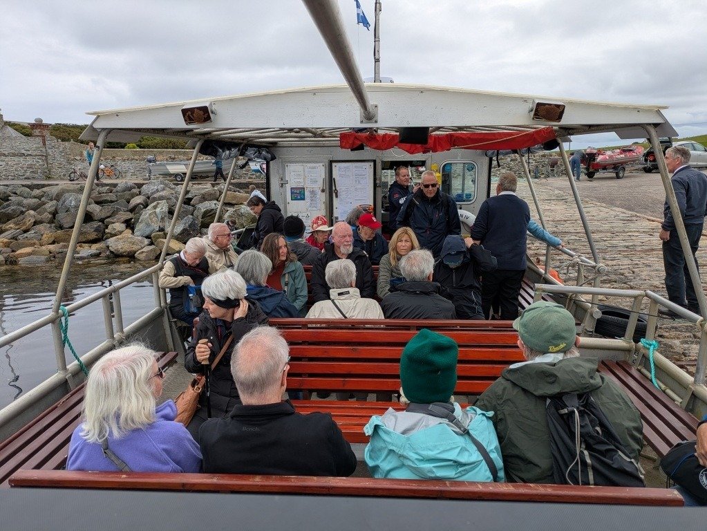
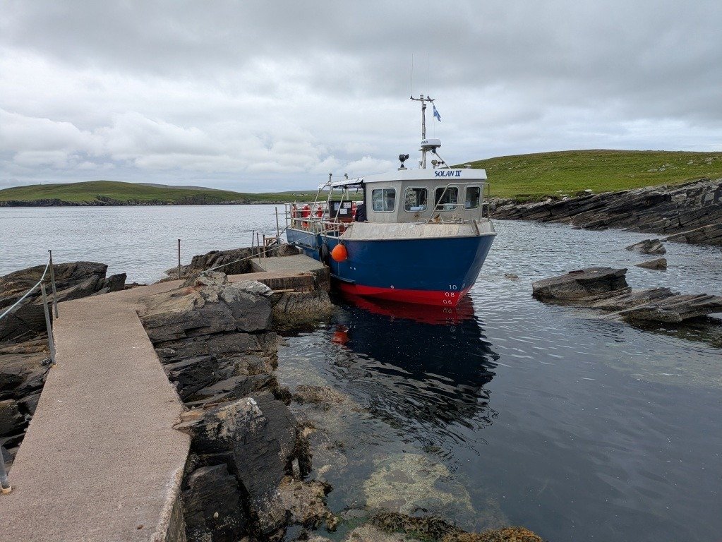
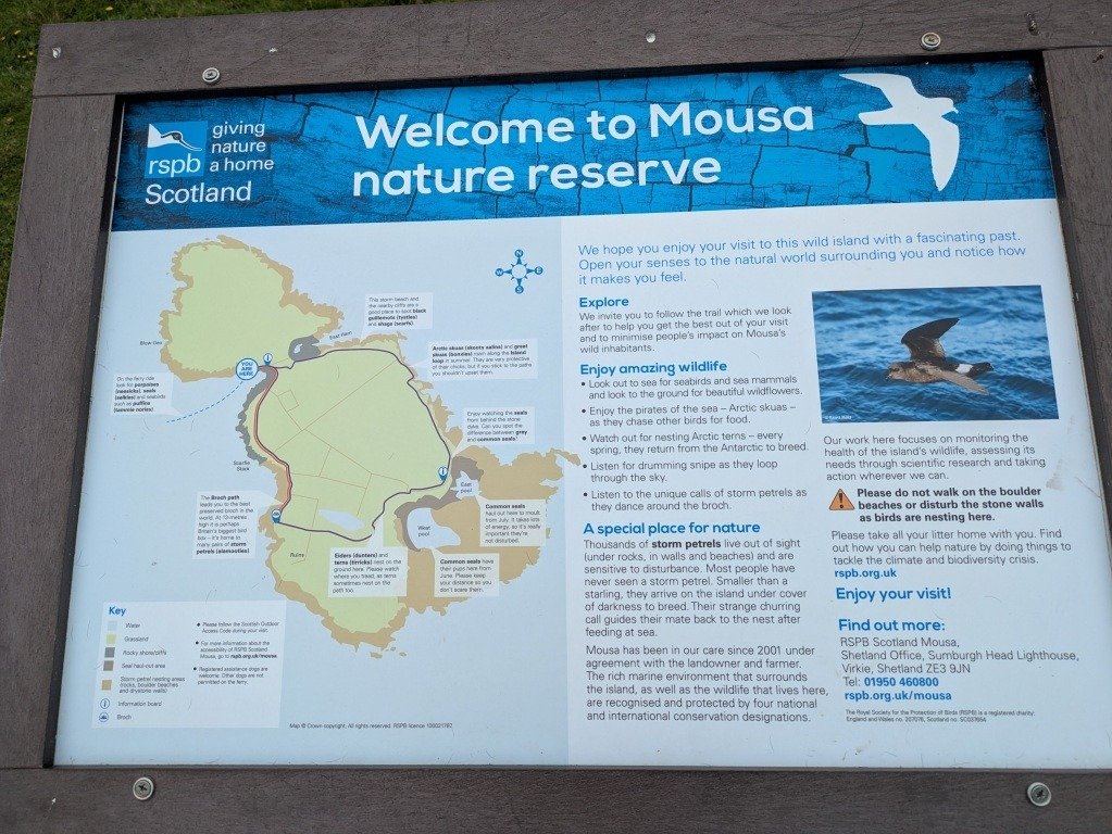
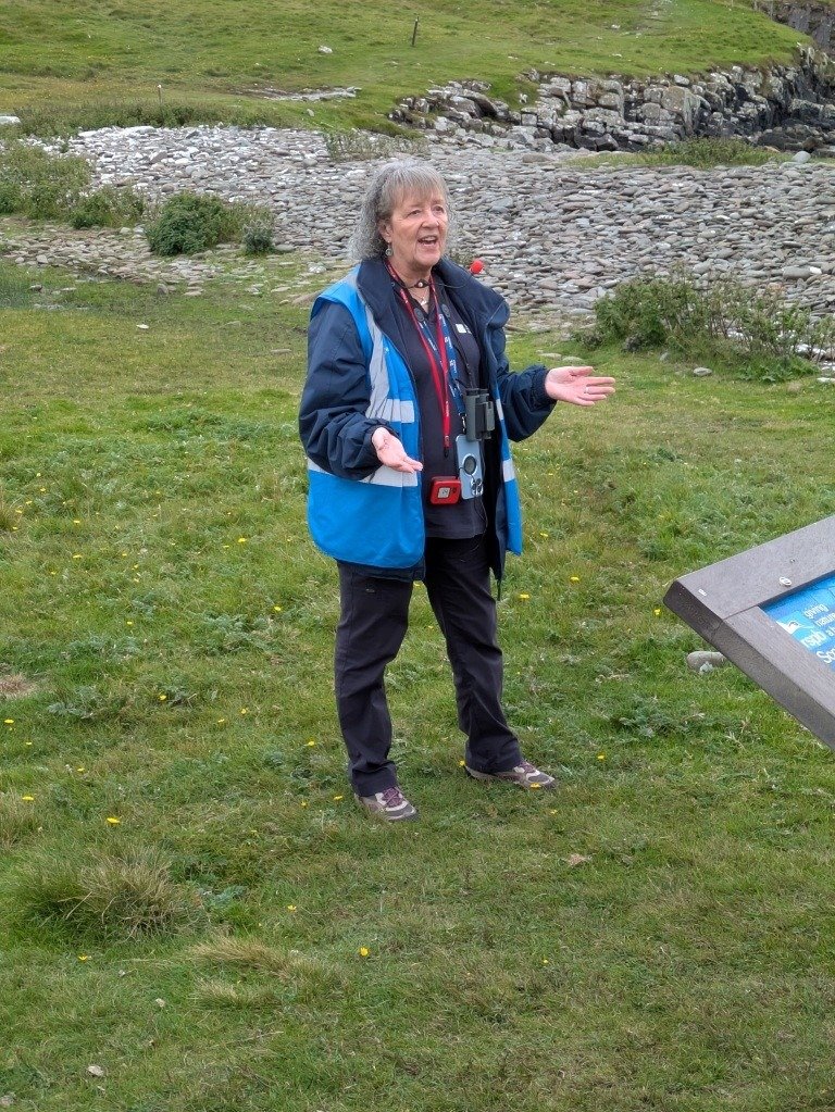
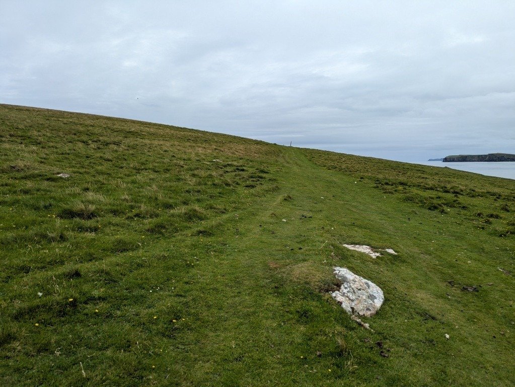
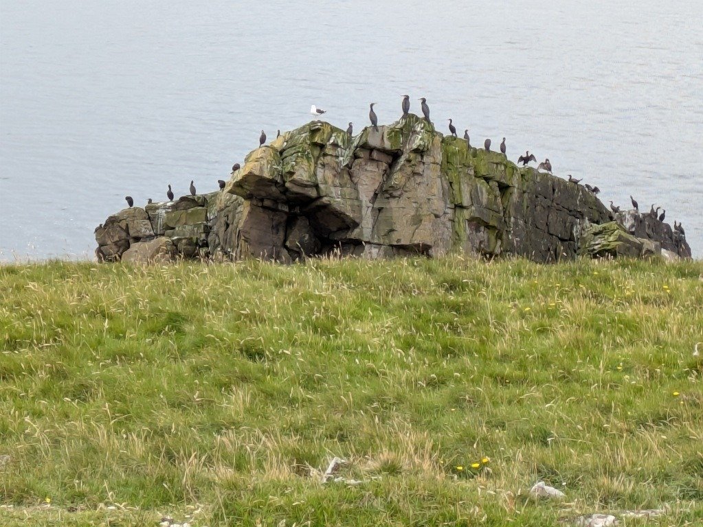
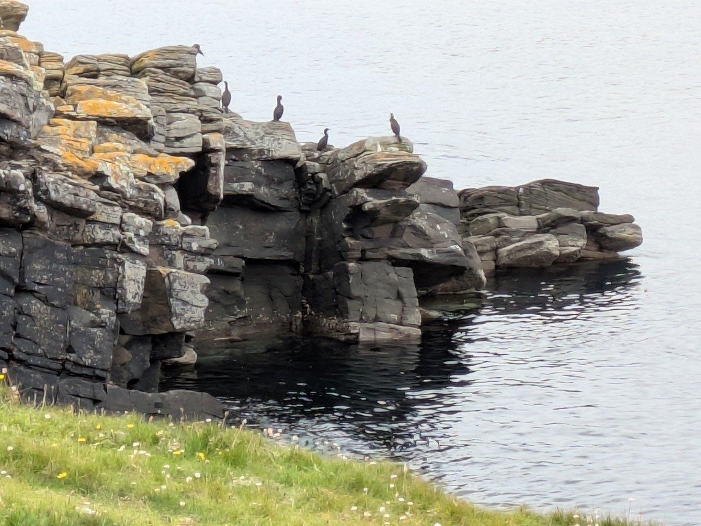
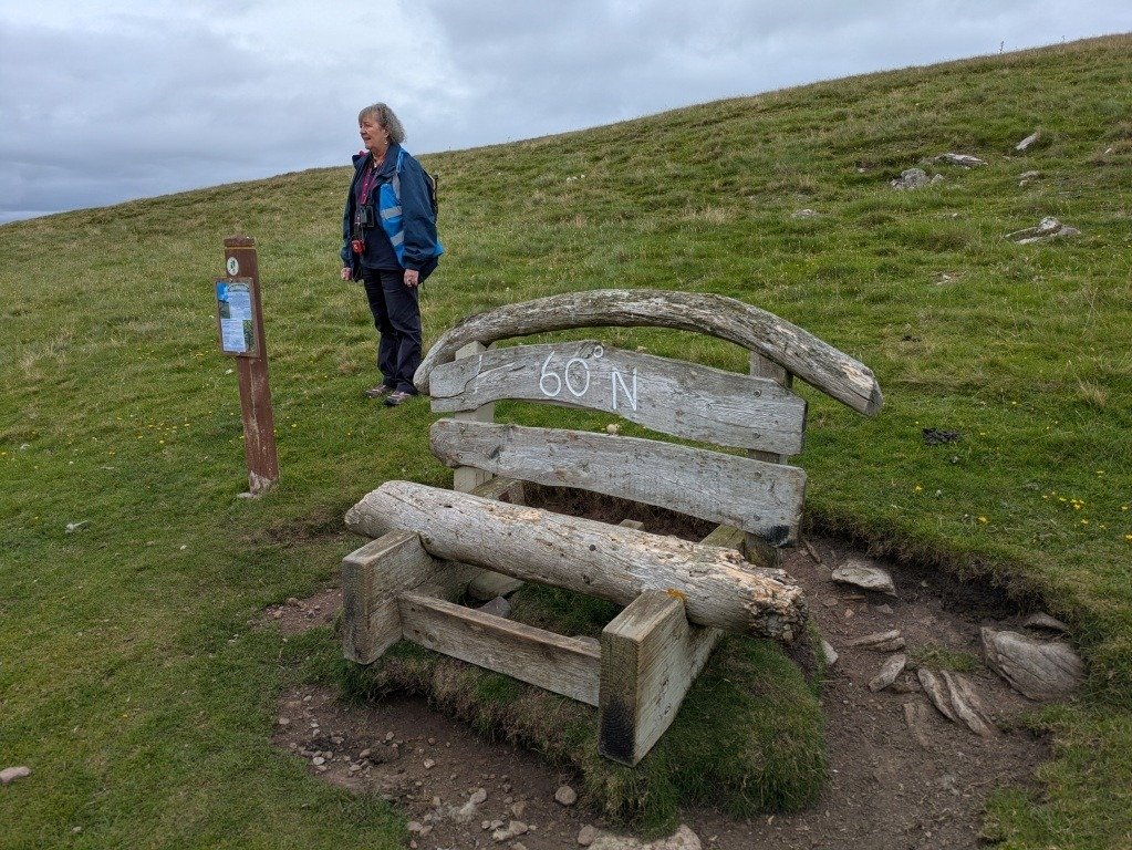
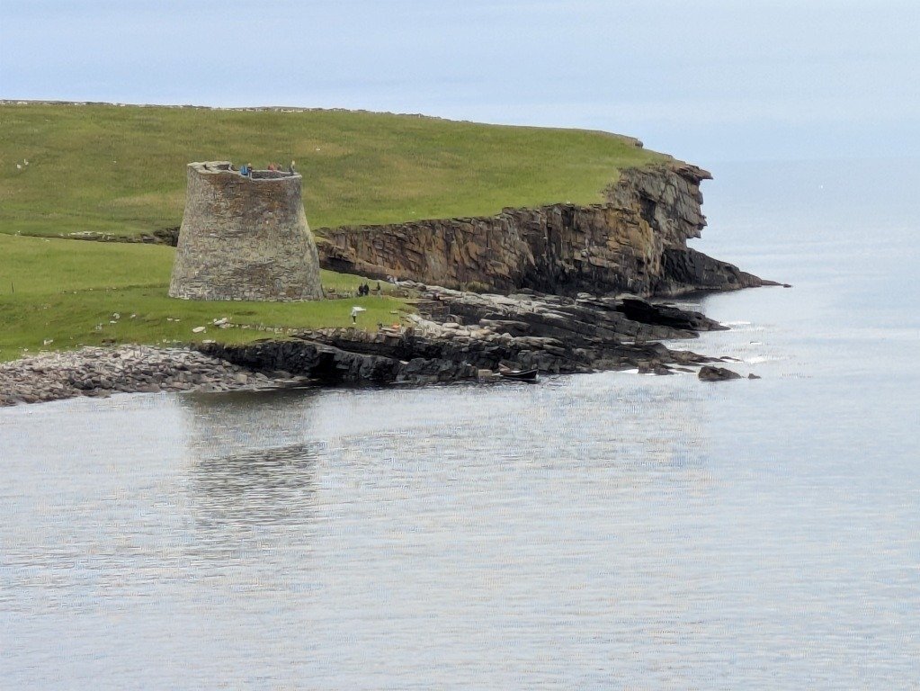
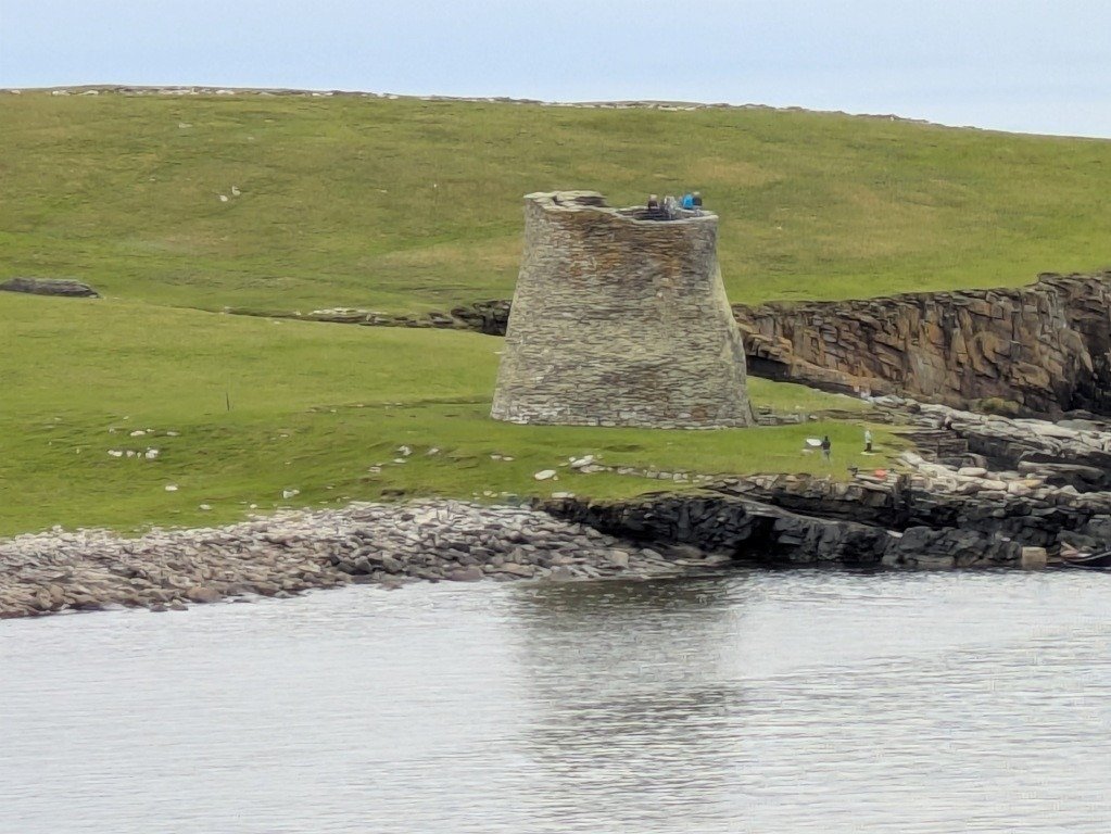
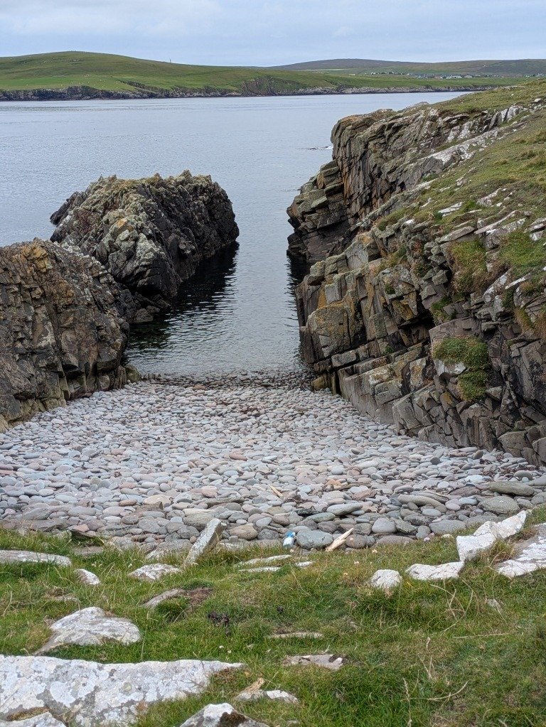
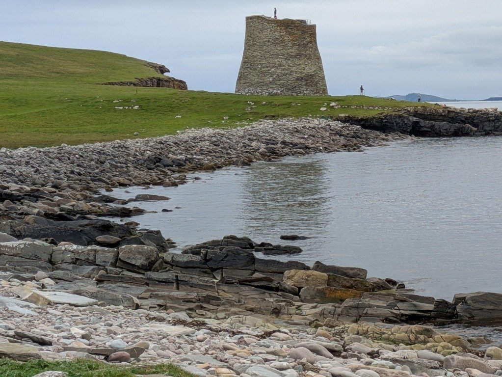
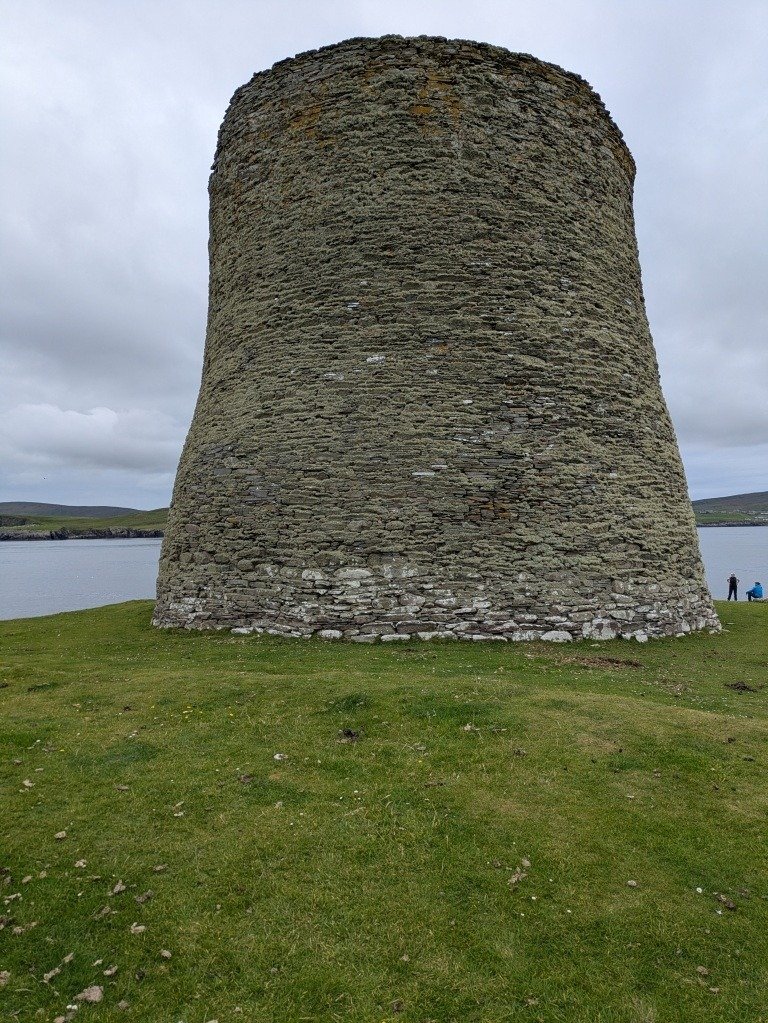
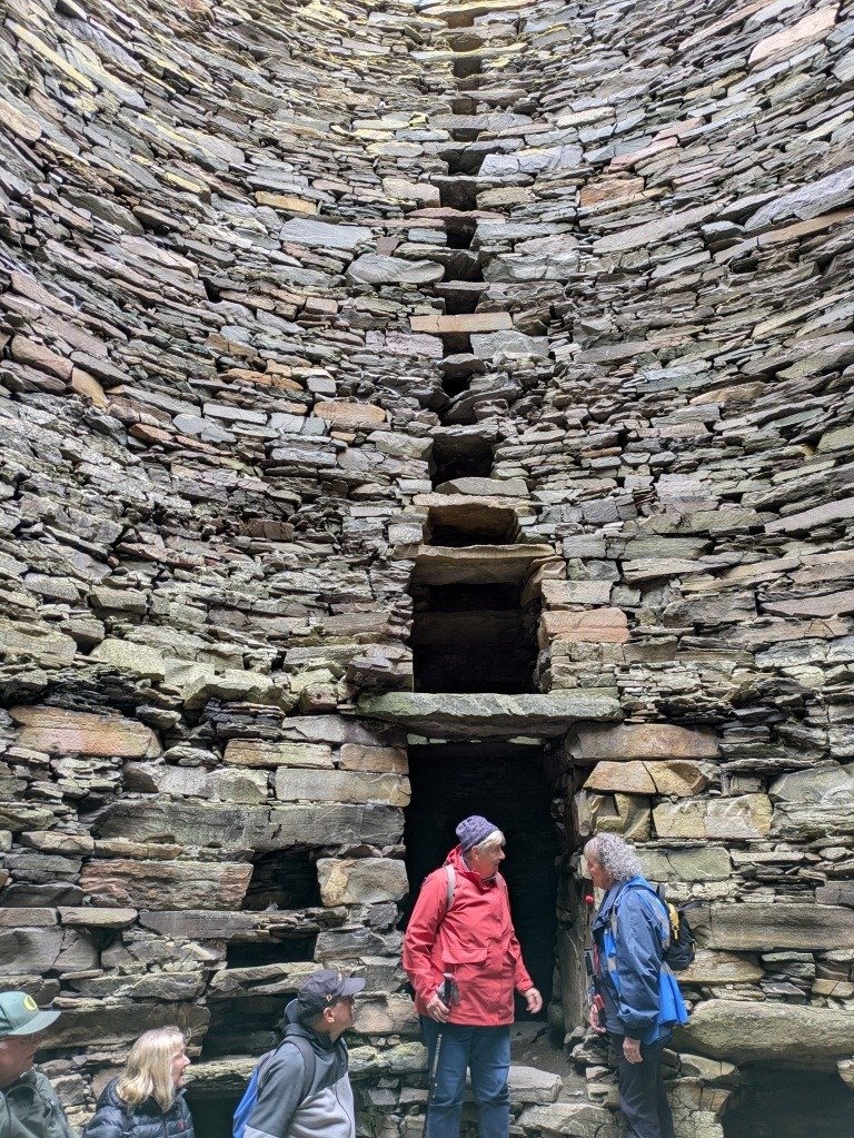
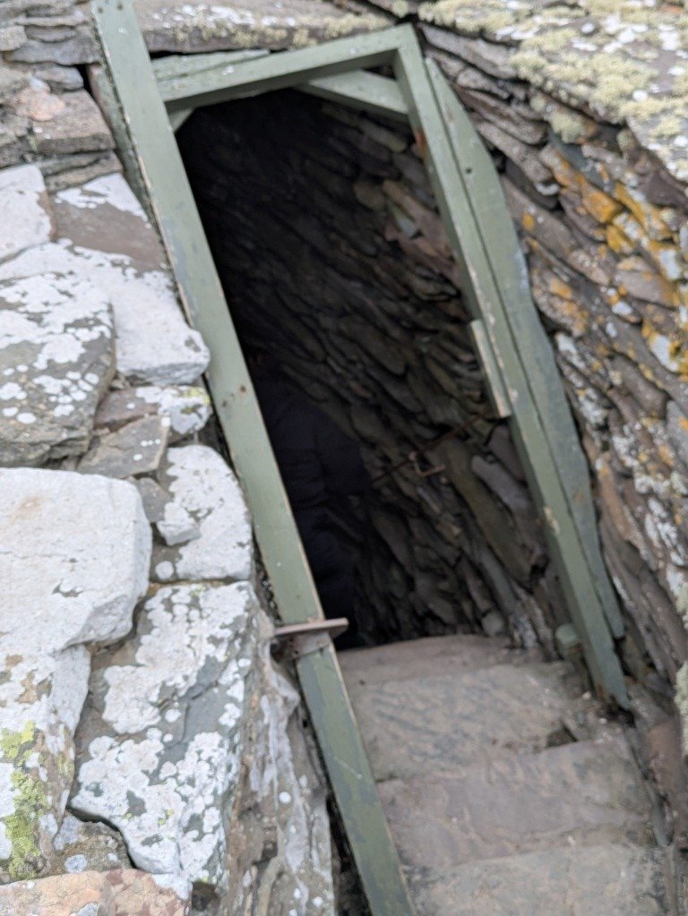
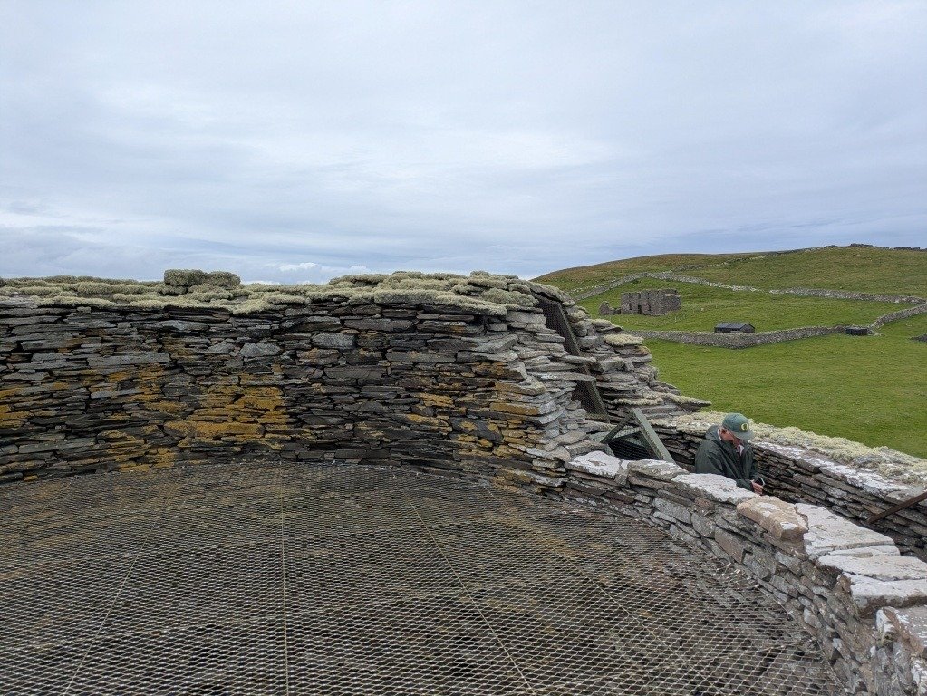
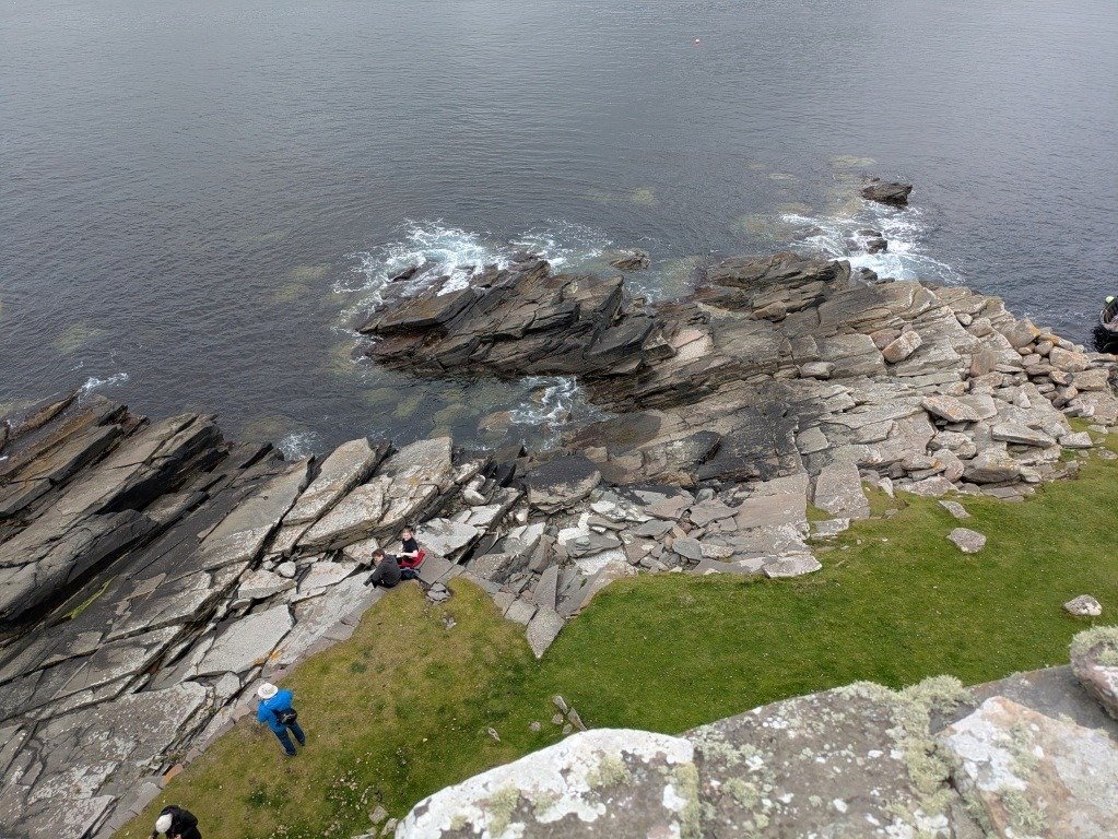
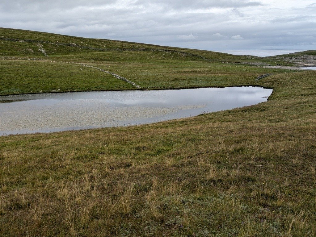
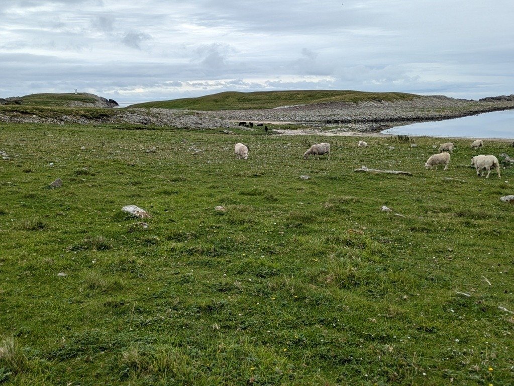
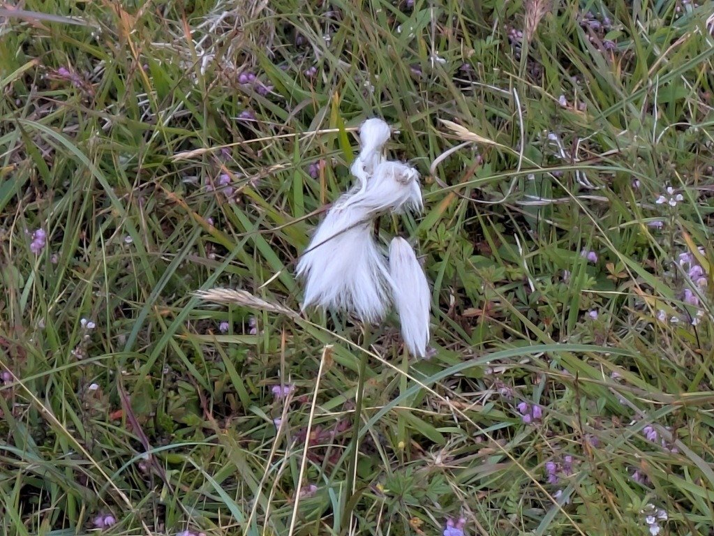
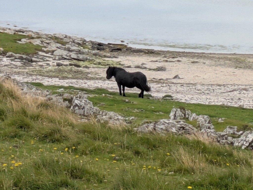
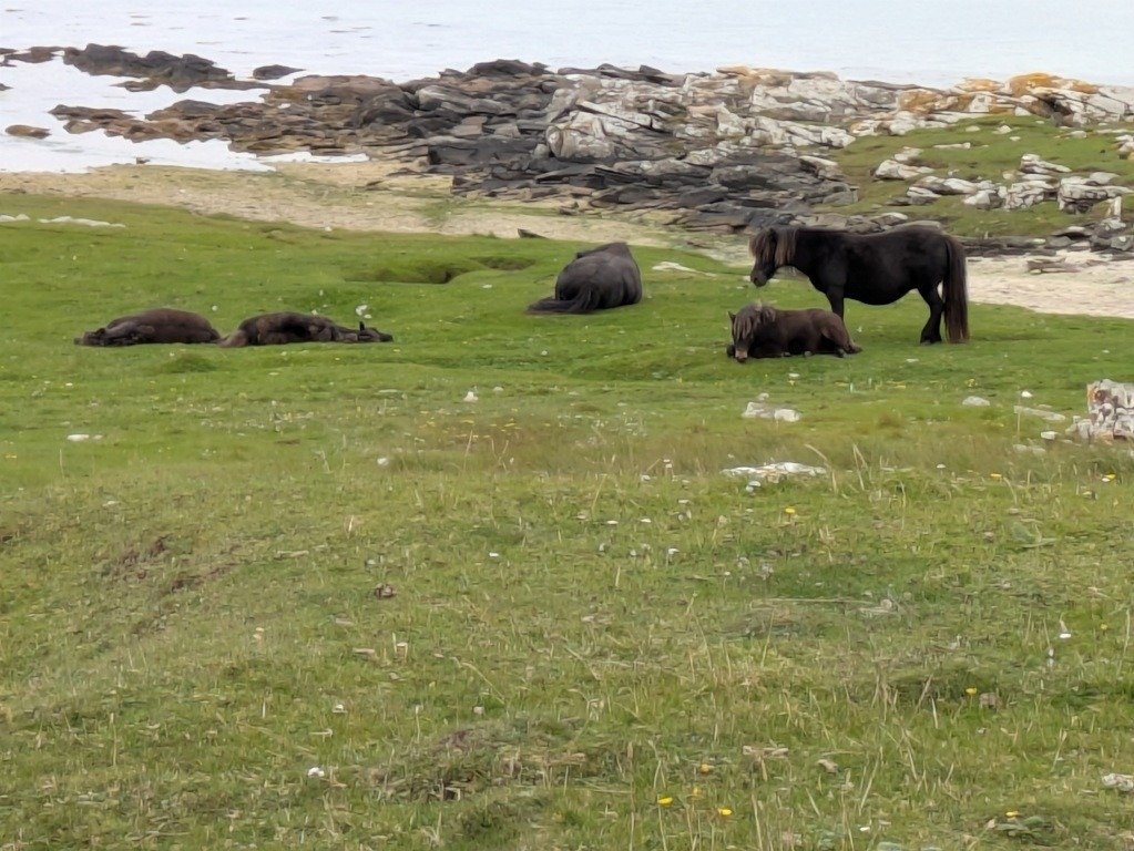
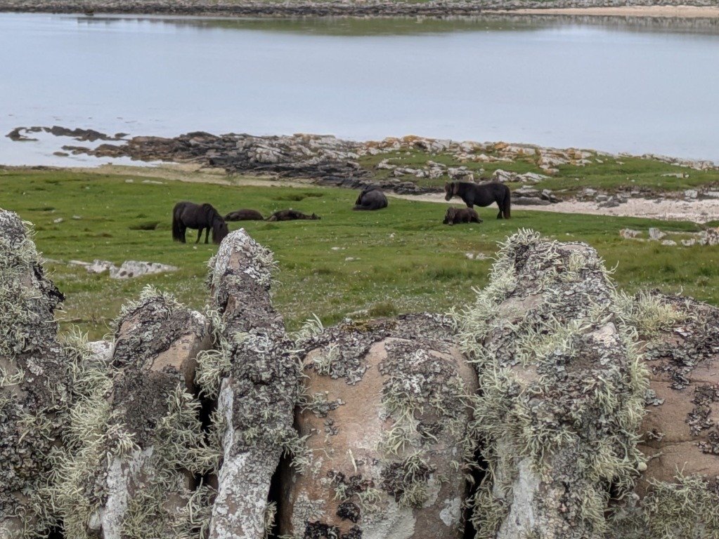
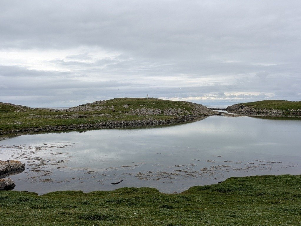
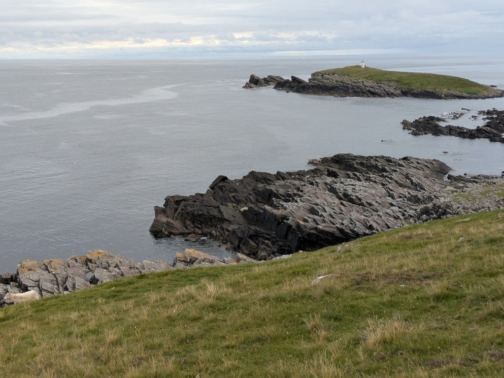
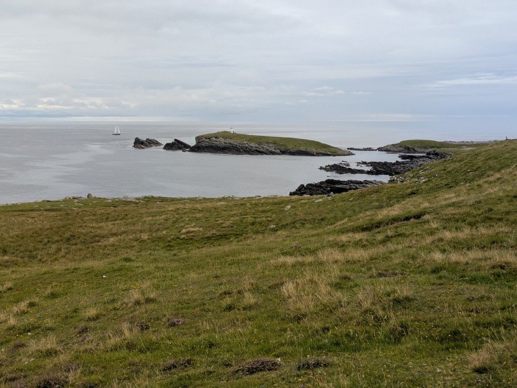
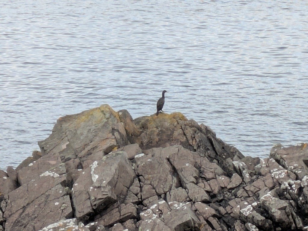
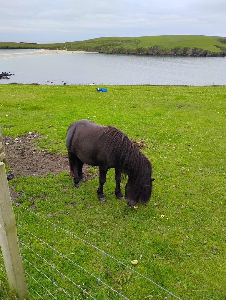
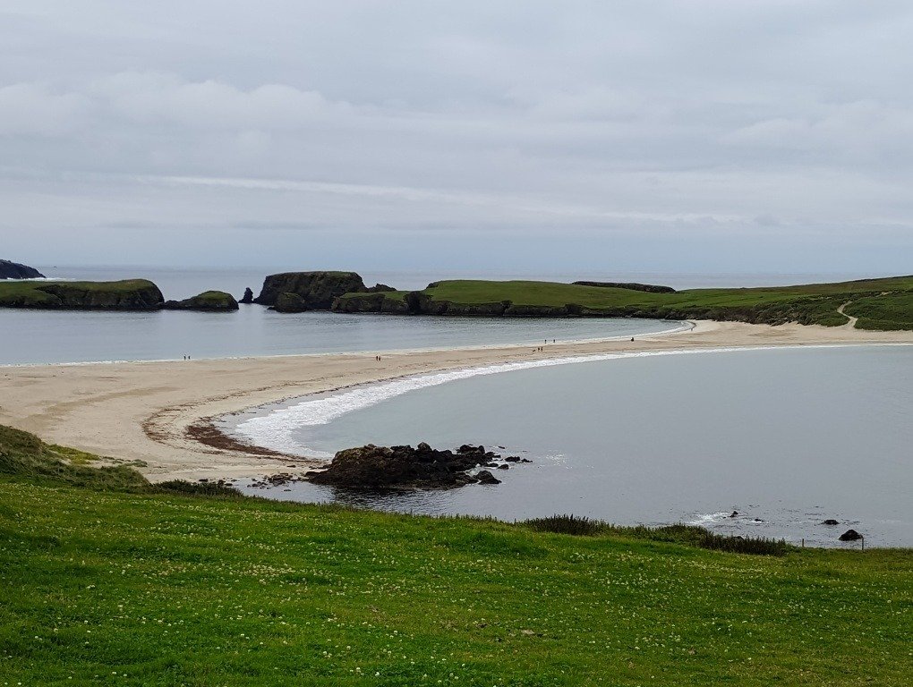
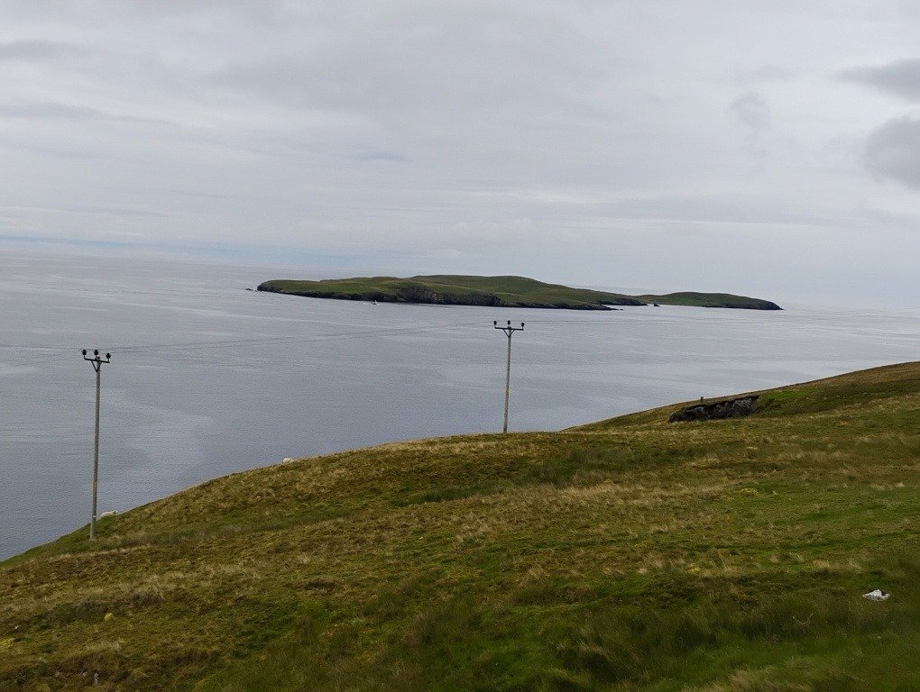
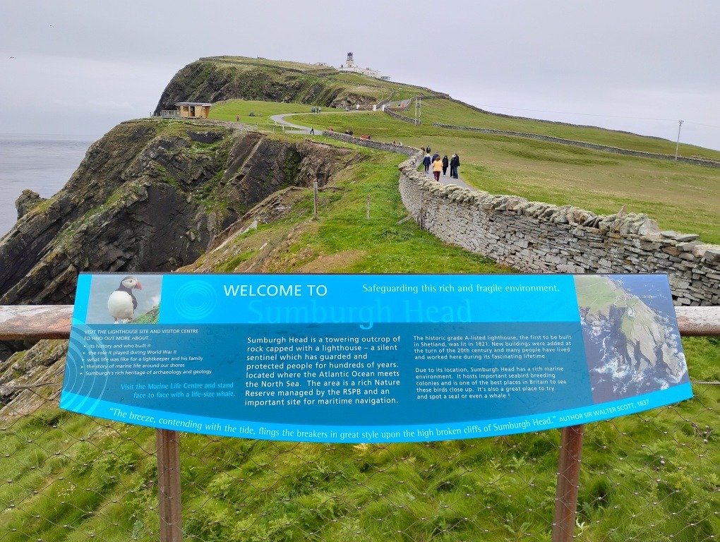
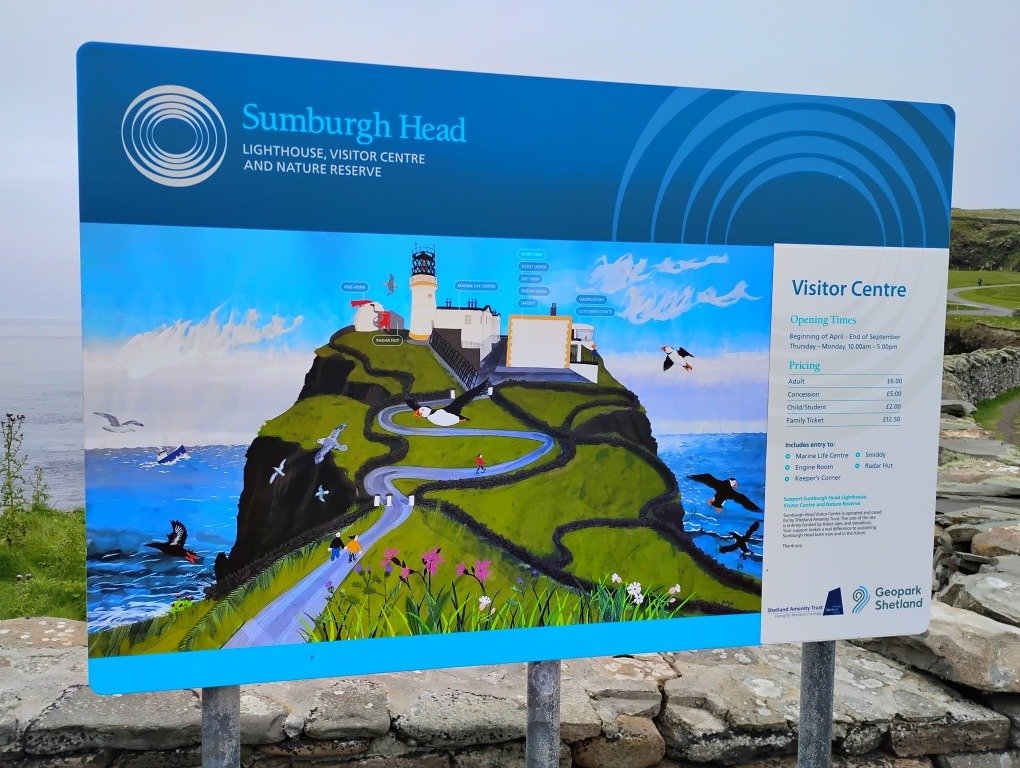
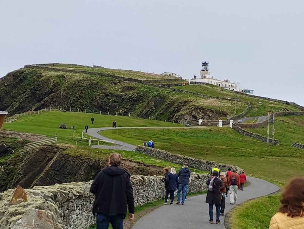
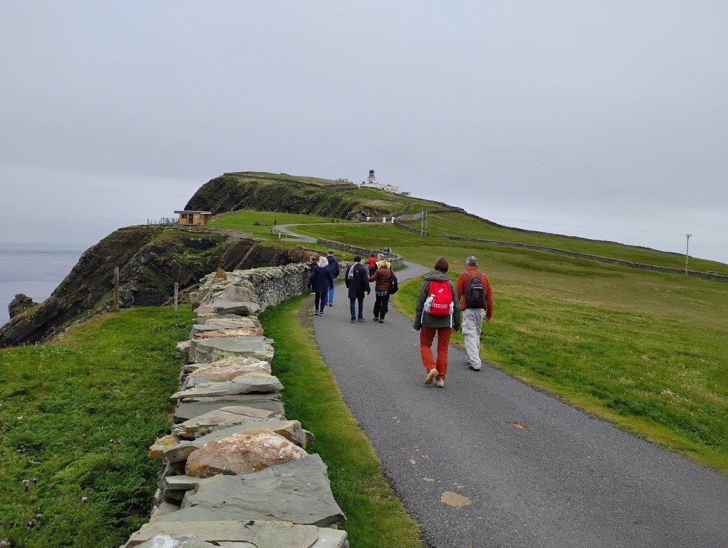
Morning found us travelling down the sound towards Lerwick, Shetland Islands. An overcast morning with temperature around 12c. Docked at Mair’s Pier by 10am. Lerwick is the main town and port of the Shetland Islands, with a population of about 7,000 residents. It is the northernmost major settlement within the UK and centred 123 miles (200 km) off the north coast of the Scottish mainland on the east coast of Shetland. Fishing is still a big industry here. This is also the site of the popular TV series “Shetland” which is filmed in the Islands. 11am tour today saw 32 of us heading out to Mousa Island. Our guide was Margaret and our bus driver was Andrew. About 30 minutes drive out of Lerwick took us to Sandsayre pier, Sandwick for our ferry out to the island. Our boat today was the Solan 1V which took us out to the nearby island in about 10 minutes. Mousa is a small island and RSPB Nature Reserve, uninhabited since the nineteenth century. The island is known for the Broch of Mousa, an Iron Age round tower, and is designated as a Special Protection Area for storm-petrel breeding colonies. Mousa lies directly on the 60th, parallel, 60 degrees north of the equator and 30 degrees south of the North Pole. It lies one nautical mile (2 kilometres) off the east coast of Mainland Shetland in the parish of Dunrossness about 15 nautical miles (28 kilometres) south of Lerwick. Once on the island we took to the trail along the coast. Here you are not allowed to wander off the trail into the interior of the island so as not to disturb the nesting storm petrels. The island is home to the UK’s largest colony of European storm petrels (c.12,000 pairs). Unfortunately for us they really only come out at dusk so we did not see any. About 20 minutes of walking eventually led us to the old Mousa Broch. This is the best-preserved Iron Age fortification in the British Isles. The 2000-year-old round tower stands above a rocky shoreline. Brochs are a kind of Iron Age roundhouse found only in Scotland, and Mousa is the best-preserved of them all. Thought to have been constructed in about 300 BC, it stands 13m tall. Inside it is open with a very narrow staircase going up inside the wall. Several of us managed to carefully climb the dark, narrow staircase to the top and experience the view of the surrounding countryside. Once down again our guide set off at a good pace heading round the rest of the coastal pathway. About half of our group decided to take the quick way back to the boat landing at this stage. Following our guide, we walked the path for about 1 hour observing the scenery, wildlife and plants. The hills are covered in heather interspersed with the white cotton grass commonly known as bog cotton. Some of the birds observed were northern gannets, shags, arctic terns and great skuas. There were many grazing Shetland sheep and a few black Shetland ponies. The coastline is rugged and many vessels have run aground here over the years. Eventually we arrived back at the boat slip and embarked for the return trip. 10 minutes later we were on the main island again and after a short wait, boarded our bus for the return trip to Lerwick. It remained overcast but dry throughout the tour with temperature rising to about 15c. Arrived back at the dockside by 4:15pm. Patti went off on an alternate tour leaving at 10:45am. An hour on the bus took them to Sumburgh Head Lighthouse, stopping at viewpoints including looking across at Mousa Island, and to look at Shetland ponies on the way. To get to the lighthouse the road crosses the airport runway. At Sumburgh Head there is a visitor centre and nature reserve. A walk from the car park takes you up to the lighthouse. 45 minutes spent here and then the return bus trip to Lerwick. Arrived back at the dockside by 4pm.
Highlight of the day: Climbing up the inside of Mousa Broch