Miyako
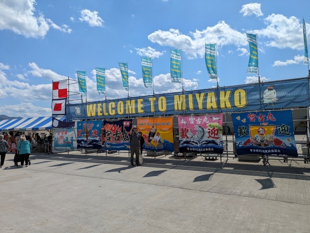
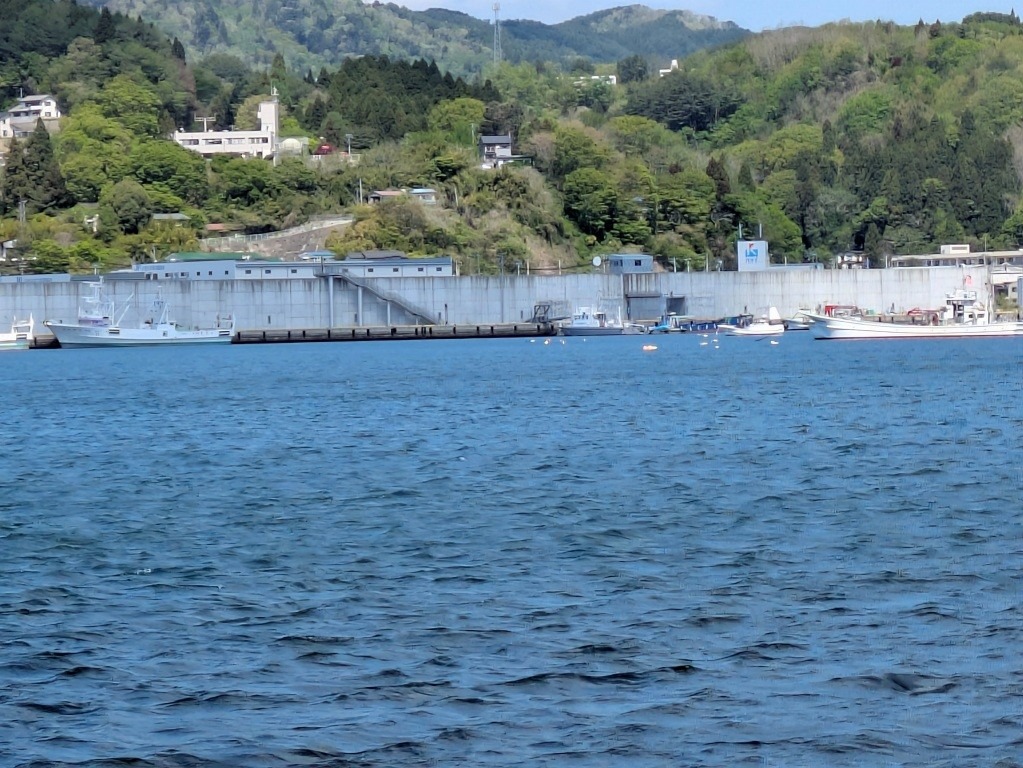
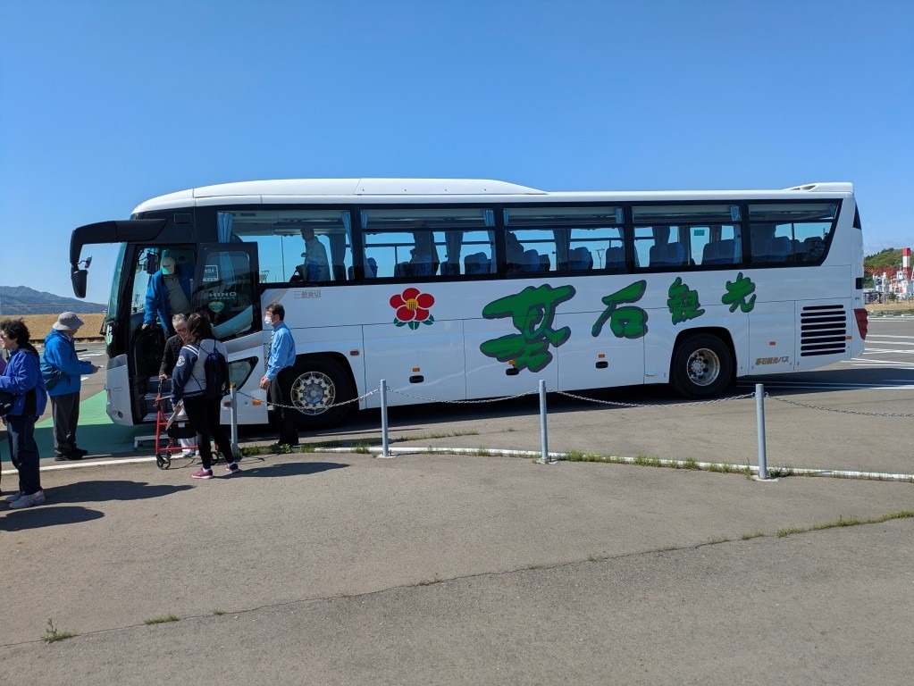
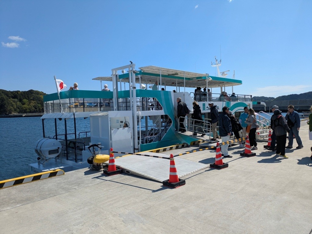
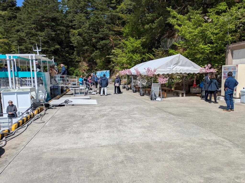
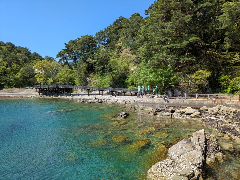
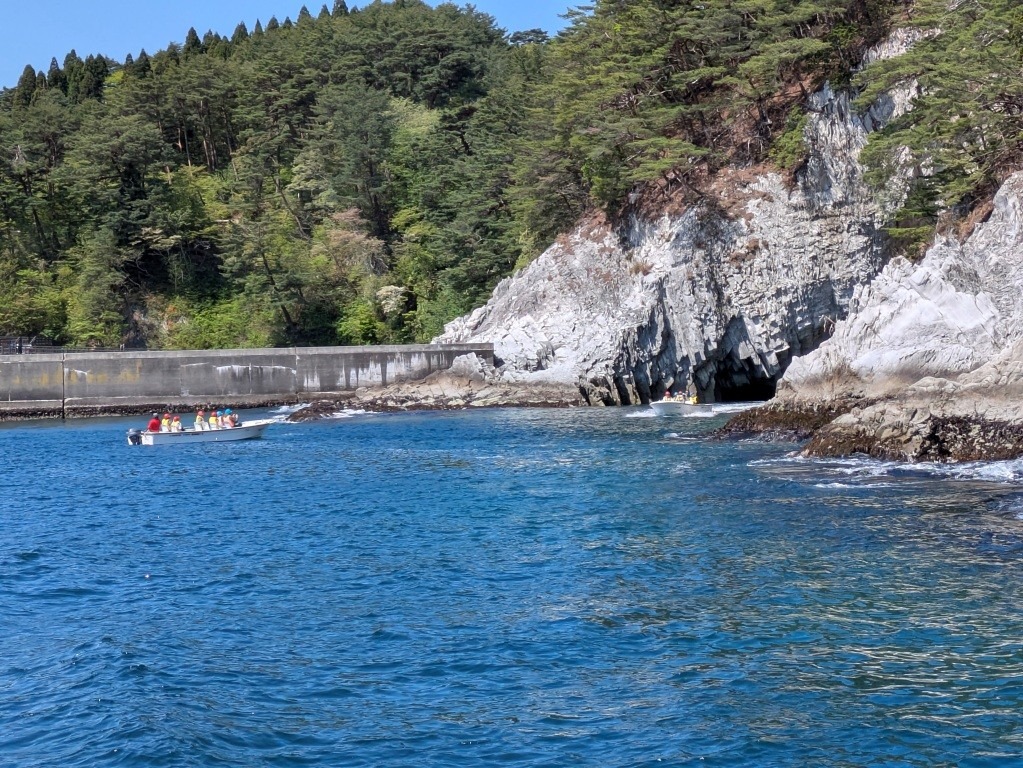
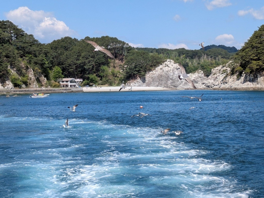
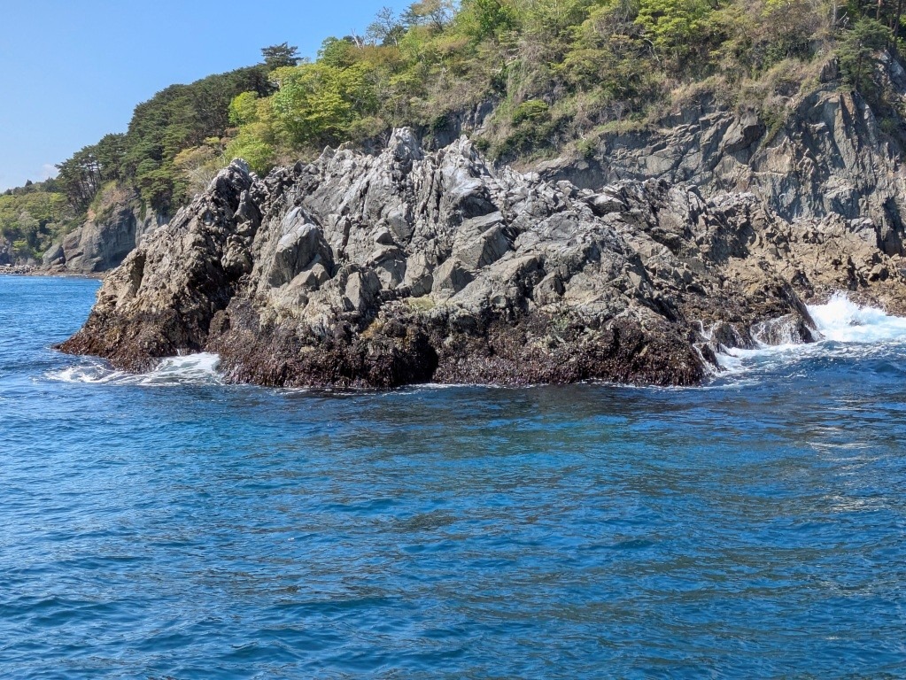
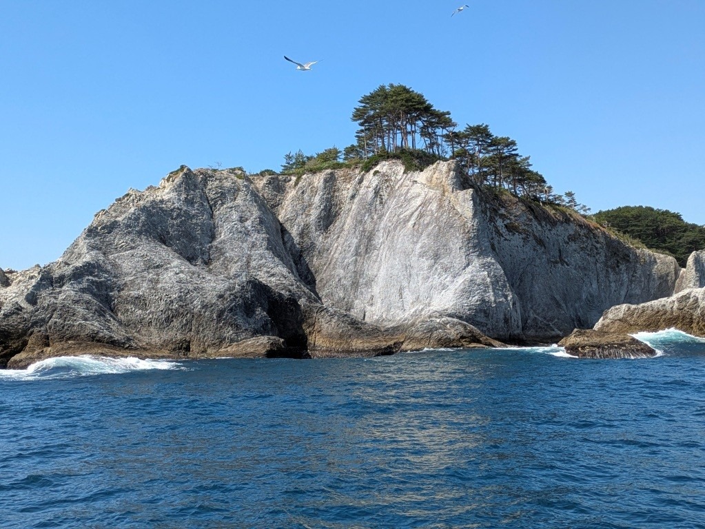
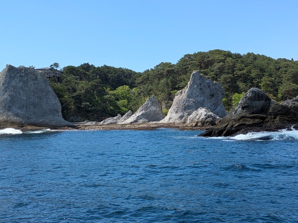
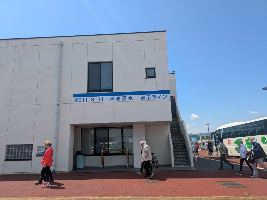
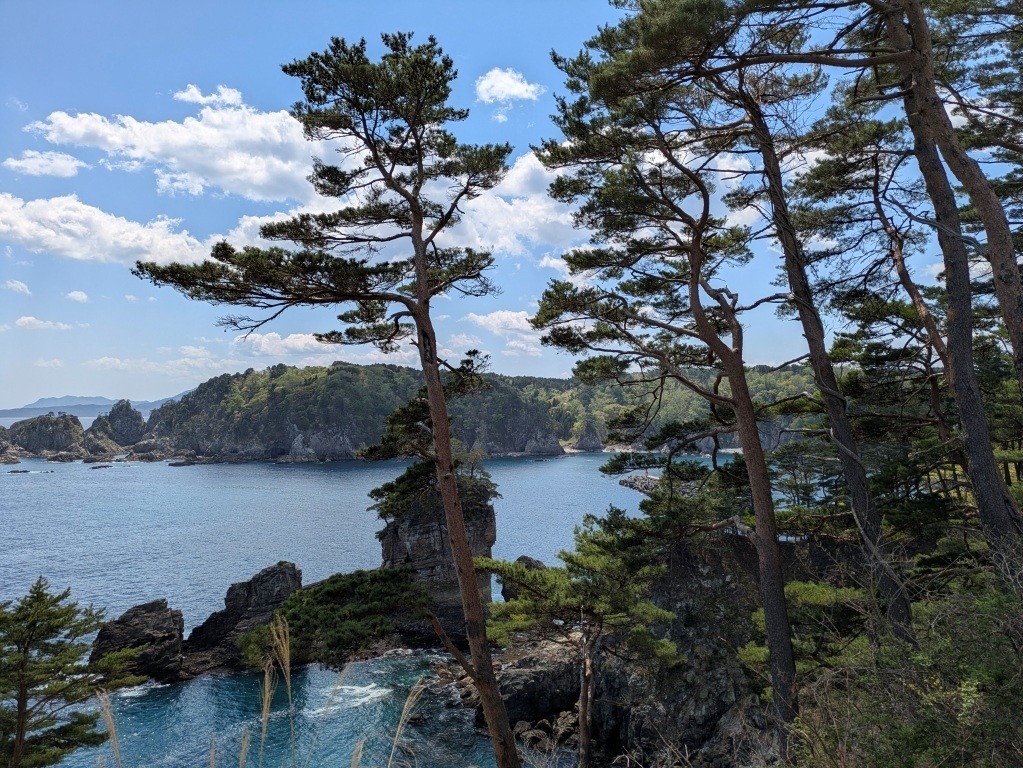
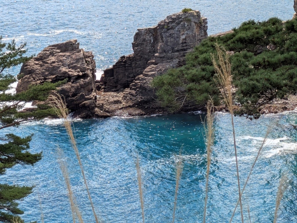
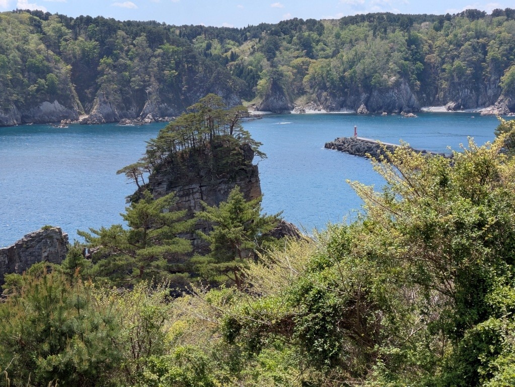
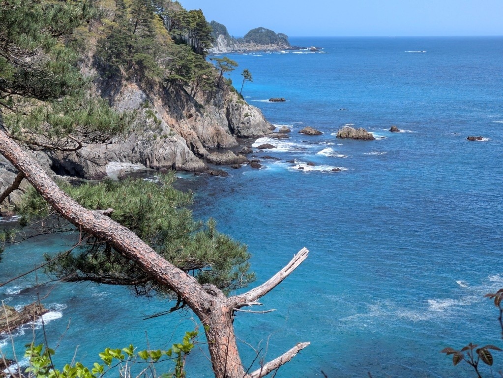
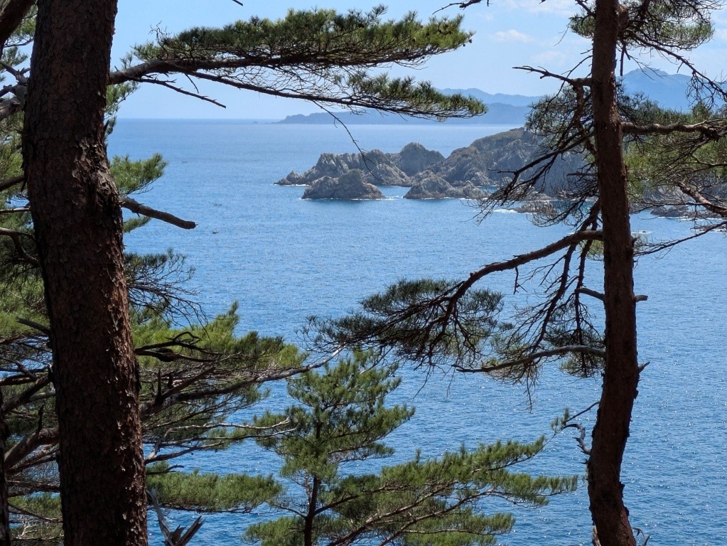
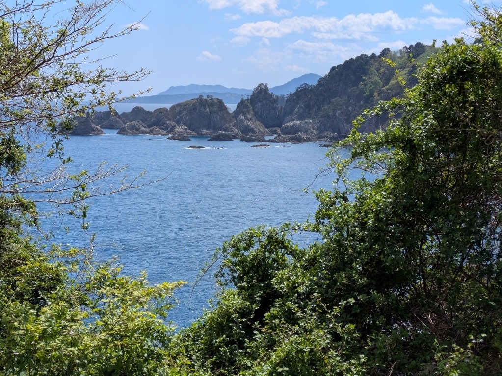
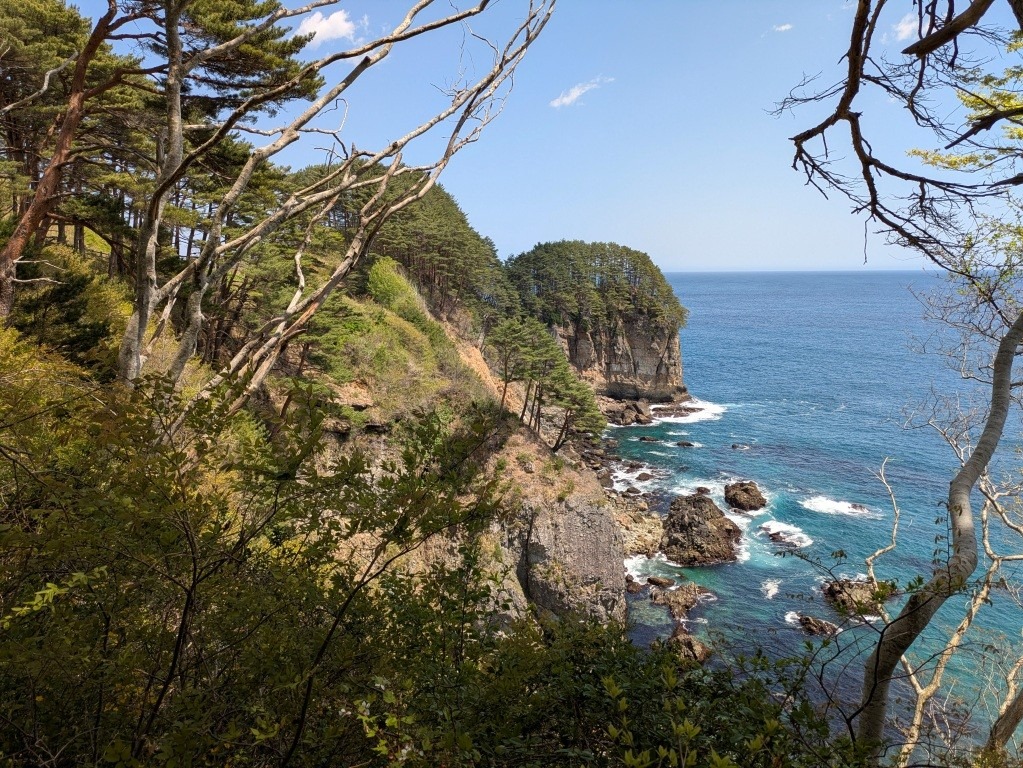
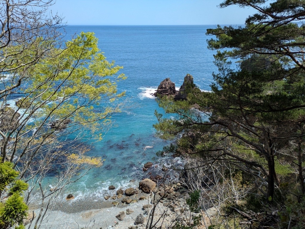
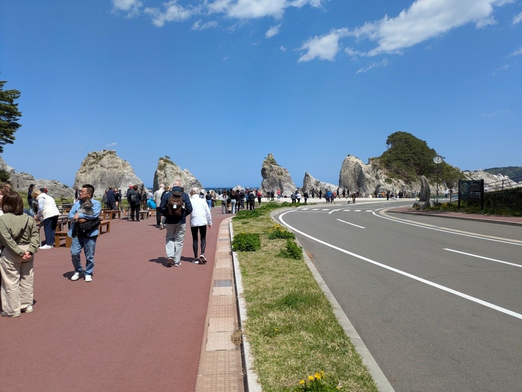
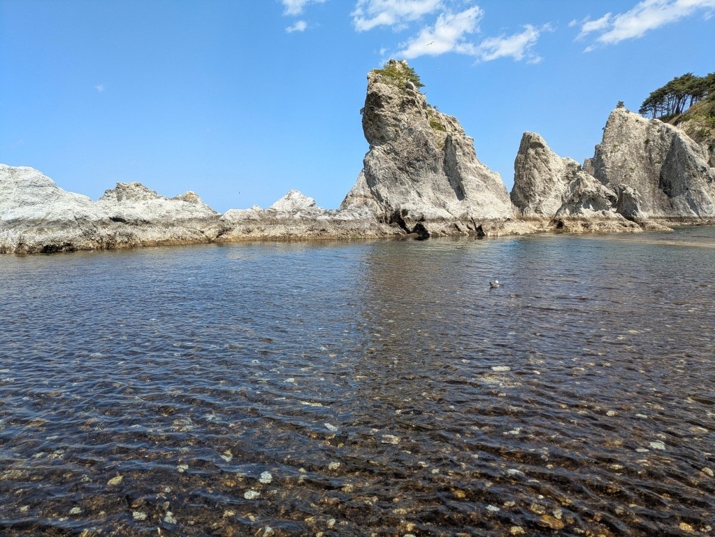
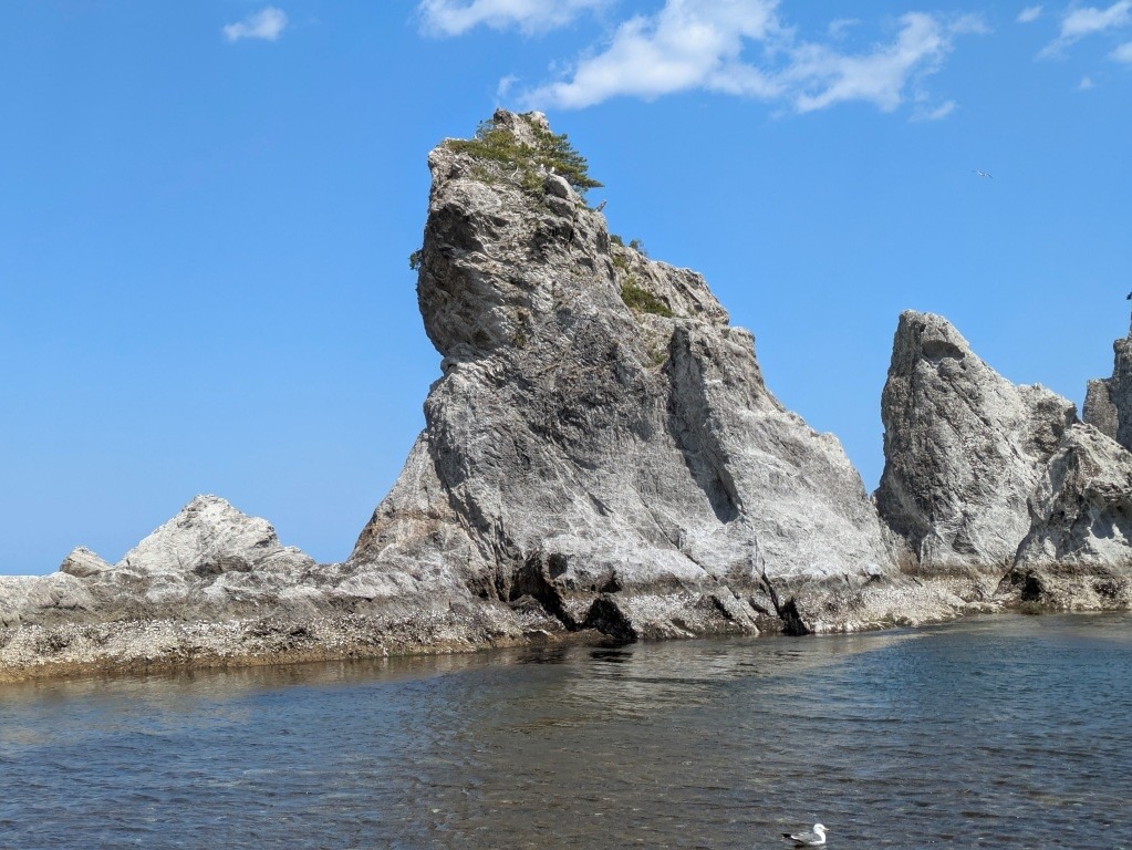
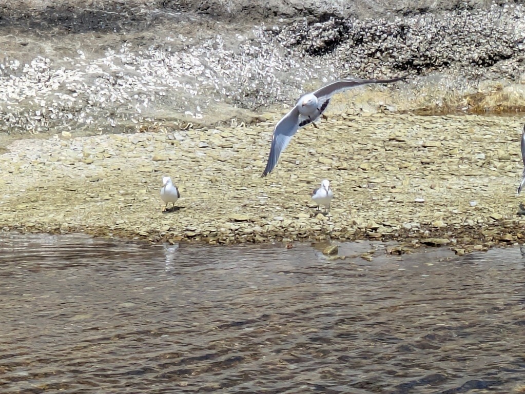
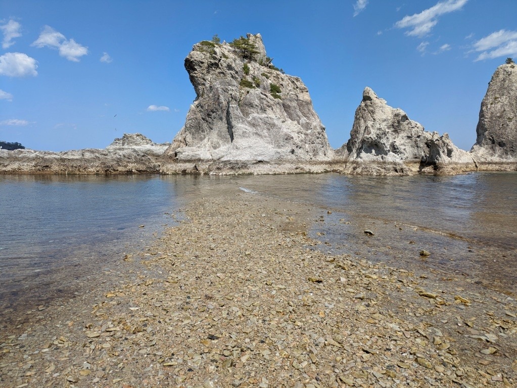
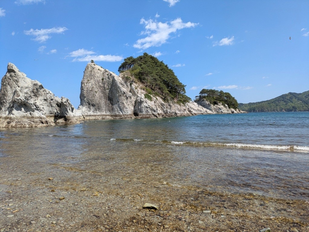
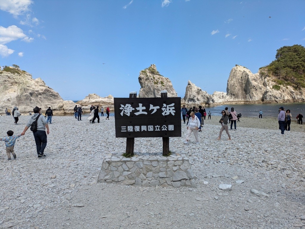
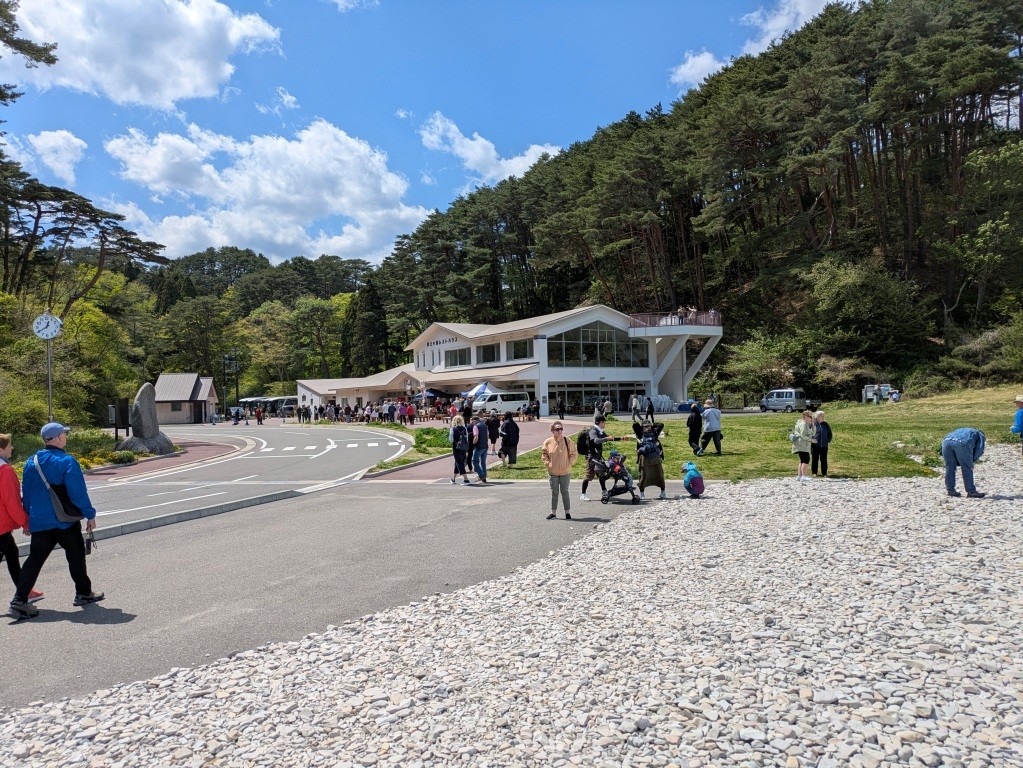
Arrived Miyako at 08:00 on a clear but windy day with the temperature around 12C. It continued mostly sunny and windy all day rising to 14C in the afternoon. Miyako is located in central Iwate Prefecture, bordered by the Pacific Ocean to the east, with the main urban area fronting on Miyako bay. It has a population of about 51,000. On 11 March 2011, Miyako was devastated by a tsunami caused by the 2011 Tohoku earthquake. Some estimates revealed that the waters had reached at least 37.9 meters (124 ft) above sea level at some point. There is still much evidence of the destruction and the rebuilding of the area. The harbour and other areas in the bay now have a 10M sea wall and huge doors which can be shut with 10 minutes notice of a tsunami. Out today on tour at 08:30am with 34 others on bus 4. Our guide was Kenji. A short bus ride round the harbour took us to Desaki Pier for first part of the tour which was a boat ride on Miyako Umineko Maru. We proceeded out past the breakwater and along the scenic coastline which is part of the Sanriku Geopark. A sunny but windy ride to the entrance of the local caves where we had a brief stop before proceeding past Jodogahama beach and then seeing all the white rhyolite rock formations from the ocean side. The caves could also be accessed by boat. Much of the time we were surrounded by many black-tailed gulls. 45 minutes later we returned to the pier. Now visited a local souvenir shop for 30 minutes which also included a snack of coffee and local crackers . Back on the bus we drove for about 30 minutes along the coast passing through several new tunnels under the mountain. This area was devastated by the 2011 tsunami and there is still evidence of buildings that were destroyed. The bus drove up to the viewpoint overlooking Sannoiwa Rocks with spectacular photo opportunities looking out over the coastline. 30 minutes here then we descended slowly back down narrow roads to eventually park at Jodogahama beach also known as “paradise beach”. Very busy here as it is only a small uneven beach area next to the rock formations. We were on the other side of these rocks on our boat earlier. Rhyolite is an extrusive igneous rock, formed from magma rich in silica that is extruded from a volcanic vent to cool quickly on the surface rather than slowly in the subsurface. It is generally light in color due to its low content of mafic minerals, and it is typically very fine-grained (glassy). Spent 30 minutes wandering on the beach and visiting the souvenir store. Another 15 minutes on the bus and we were back at the dockside.